
Name of the Launch Location: Mutton Cove
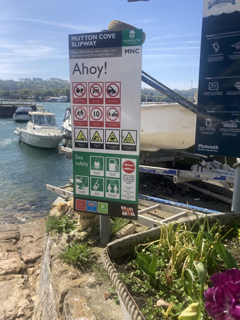
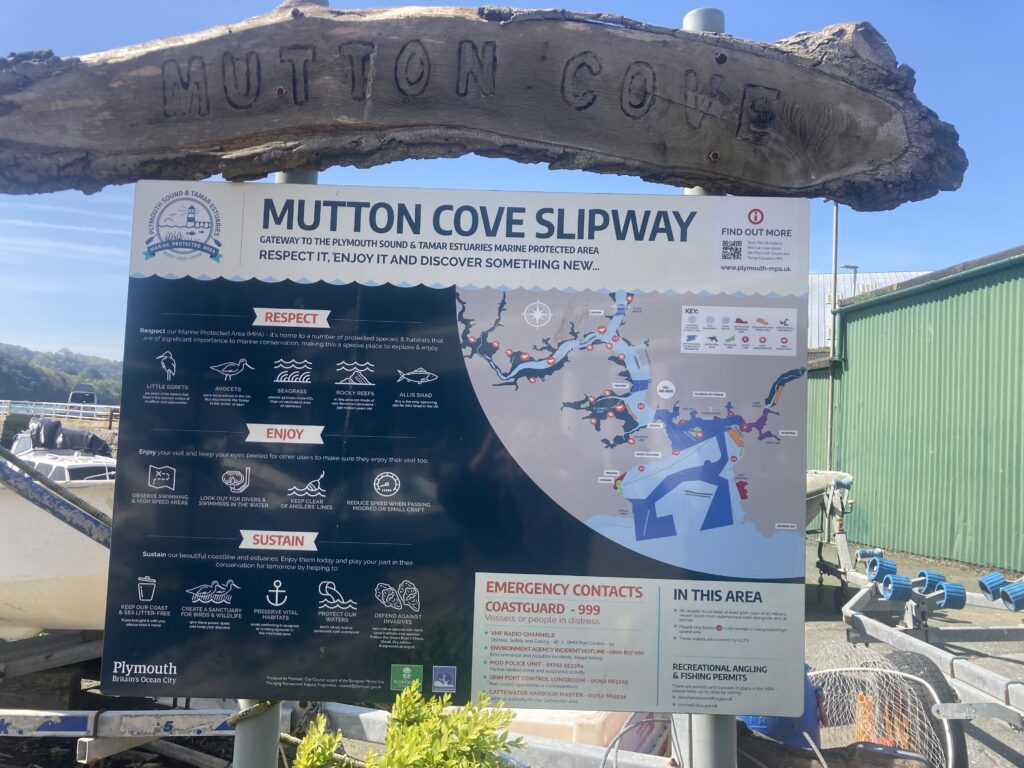
About the Area: Just next to the end of Devonport Docks, through a housing estate, and with access via a free car park is Mutton Cove pubic slipway
Launch Point Latitude and Longitude
Decimal Latitude: 50.36553240502589
Decimal Longitude: -4.177260678243576
Launch Point What3Words: https://w3w.co/rests.tables.taking
Launch Information:
Costs to launch – free, this is a public slipway
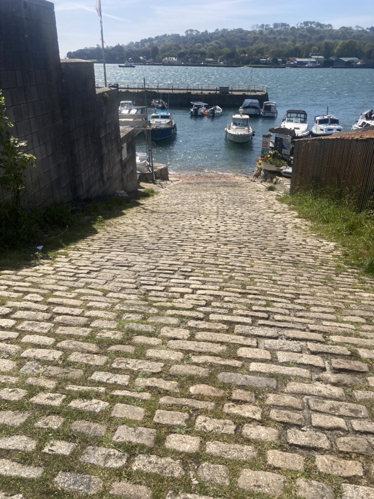
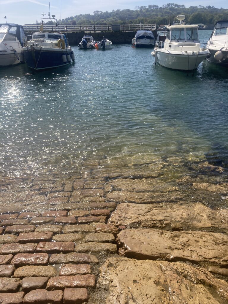
Launch facilities – this is primarily a slipway and surrounding supporting businesses for leisure fishing boats. The small enclosed harbour is full of boats at anchor with very little room to manoeuvre unless you are equipped with an engine or are planning to paddle. There’s probably not enough width between moored boats to row a dinghy out of the harbour. The slipway is very steep cobbles which become slippery with weed and the ground beyond the slipway is too soft for a vehicle. Unless your dinghy is ultra-light you would need a vehicle to haul your boat up the slipway. There is a free carpark at the top of the slipway.
More details from https://www.plymouth.gov.uk/mutton-cove-slipway
Towing Vehicle Parking:
In the free carpark at the head of the slipway.
Towing vehicle Parking What3Words: https://w3w.co/appeal.guides.taped
Trailer Parking:
In the free carpark at the head of the slipway.
Trailer Parking What3Words:
Trailer Parking Information:
Costs and things to know
Toilets:
See more details on https://www.plymouth.gov.uk/mutton-cove-slipway
Page Month Published: April 2026