
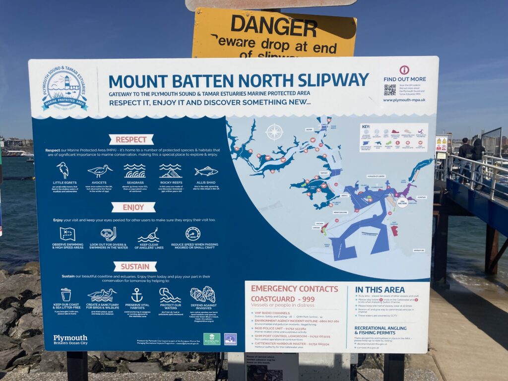
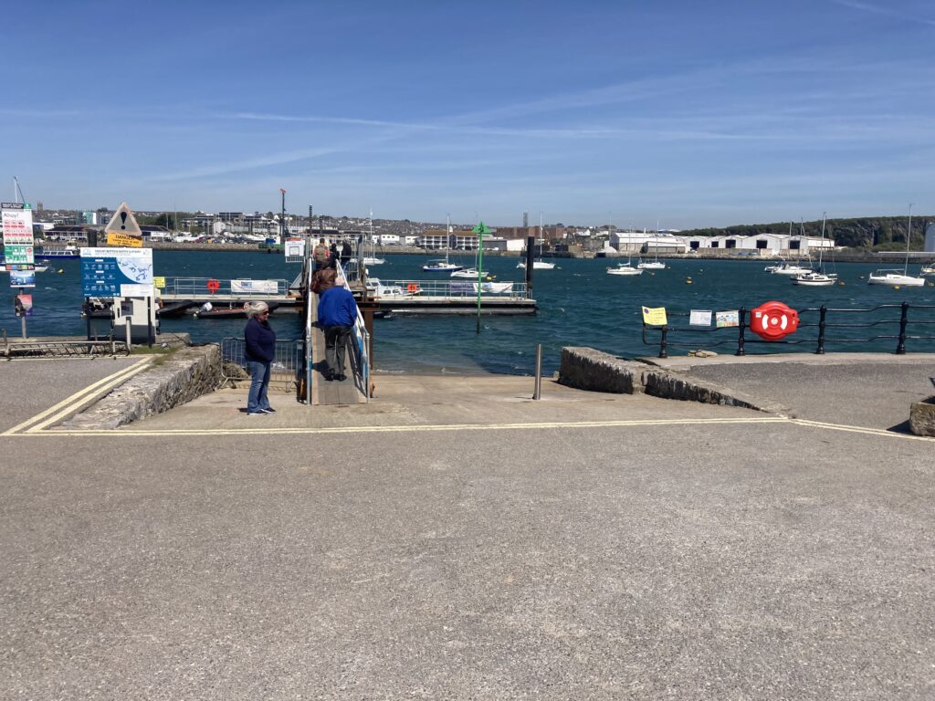
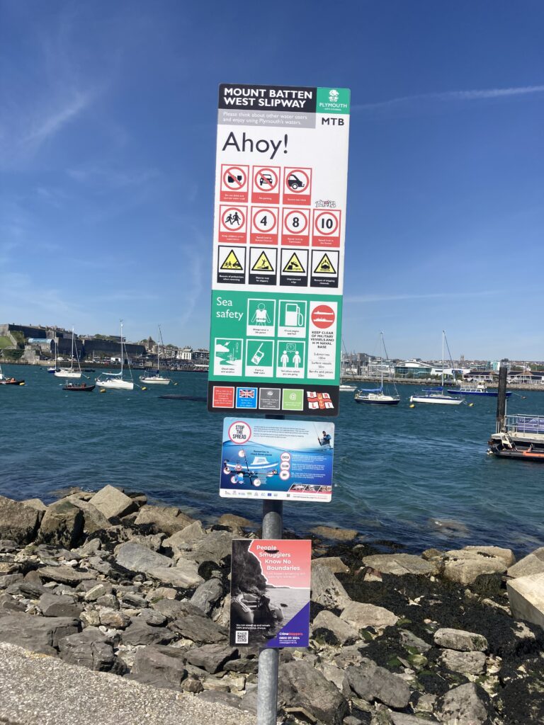
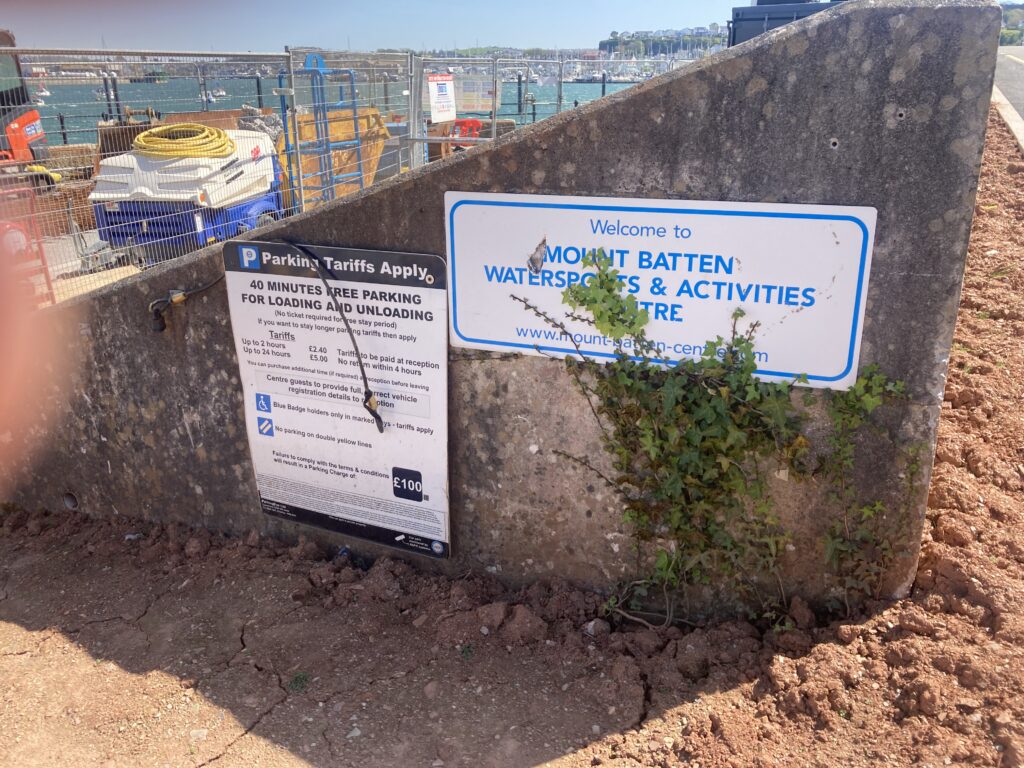
Name of the Launch Location: Mountbatten North
About the Area: Launching from the East into Plymouth Sound.
Launch Point Latitude and Longitude
Decimal Latitude: 50.36072882977181
Decimal Longitude: -4.128229301173869
Launch Point What3Words: https://w3w.co/mull.future.depend
Launch Information:
Costs to launch – free, it’s a public slipway
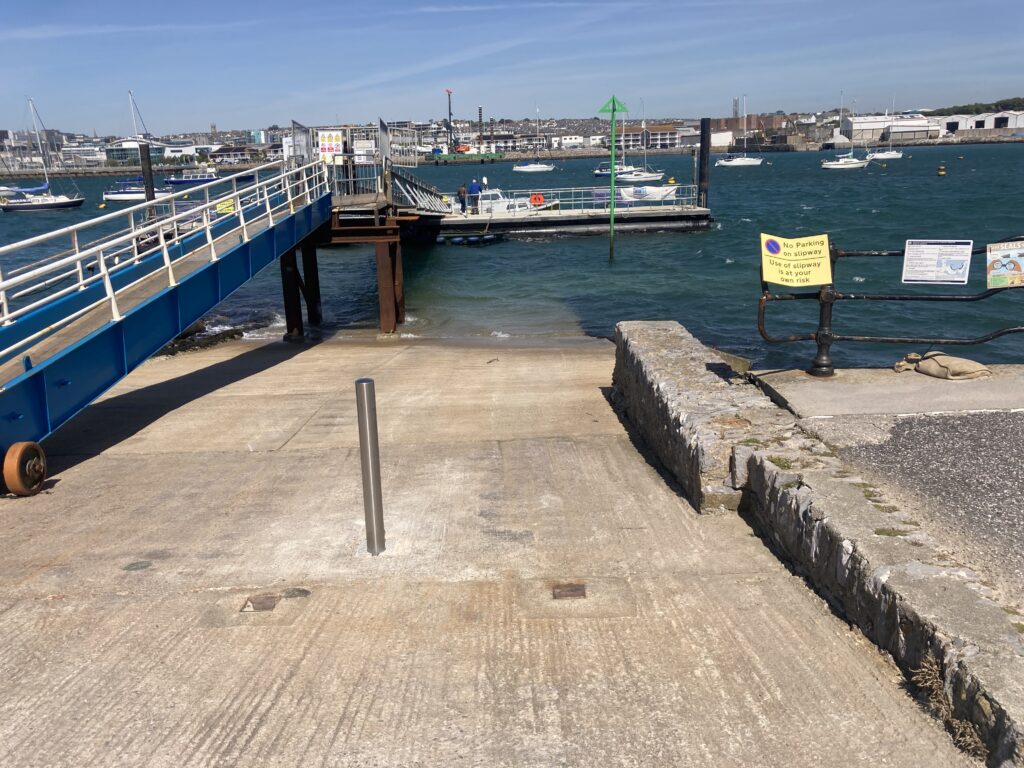
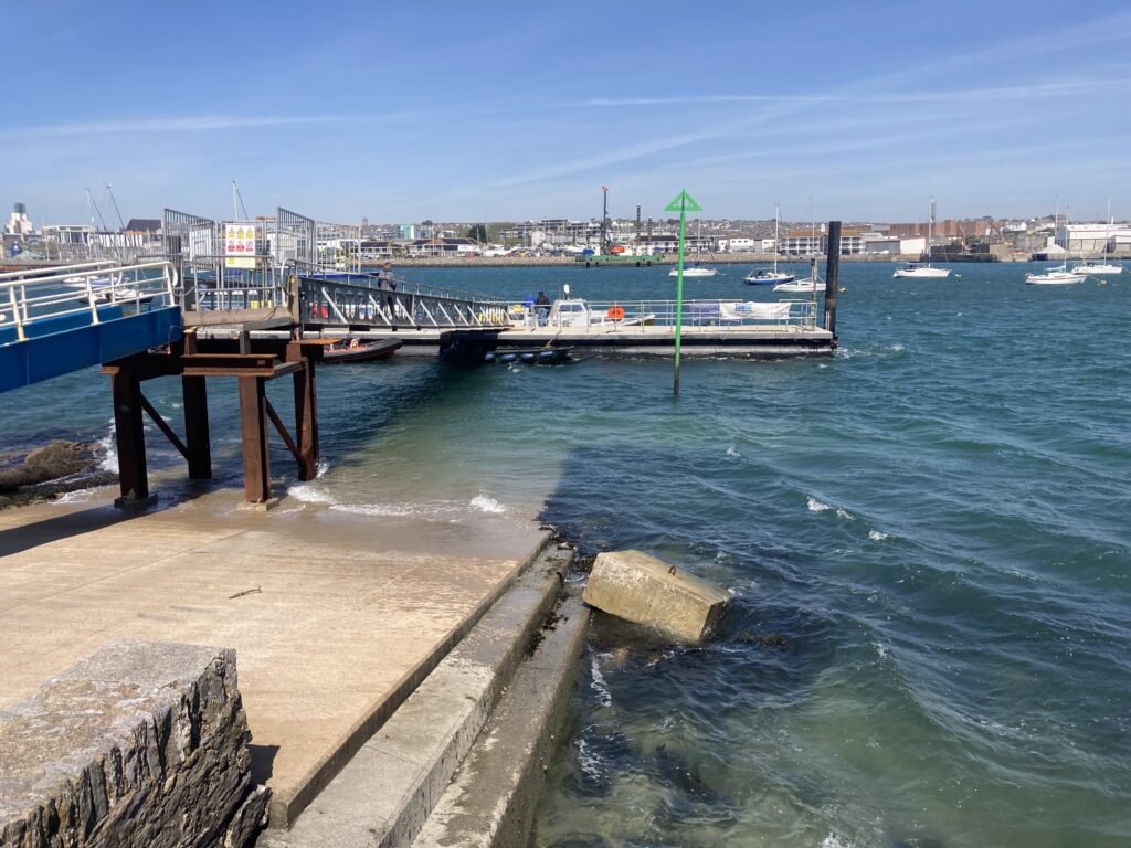
Launch facilities – Google Maps are showing this slipway as a useable concrete slipway, but recent works have rendered it unusable for all but perhaps inflatable tenders.
This is not a usable public slipway for dinghy launching.
More information https://www.plymouth.gov.uk/mount-batten-north-west-slipway but this is definitely out of date.
Page Month Published: May 2026