
Name of the Launch Location: Saltash Passage
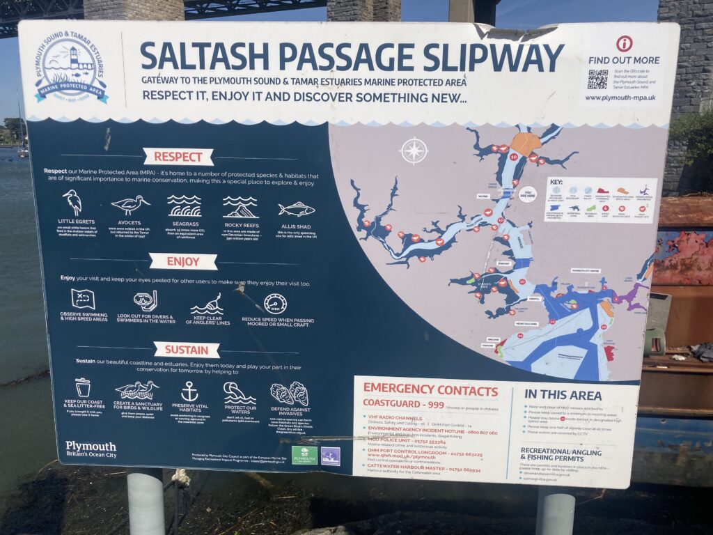
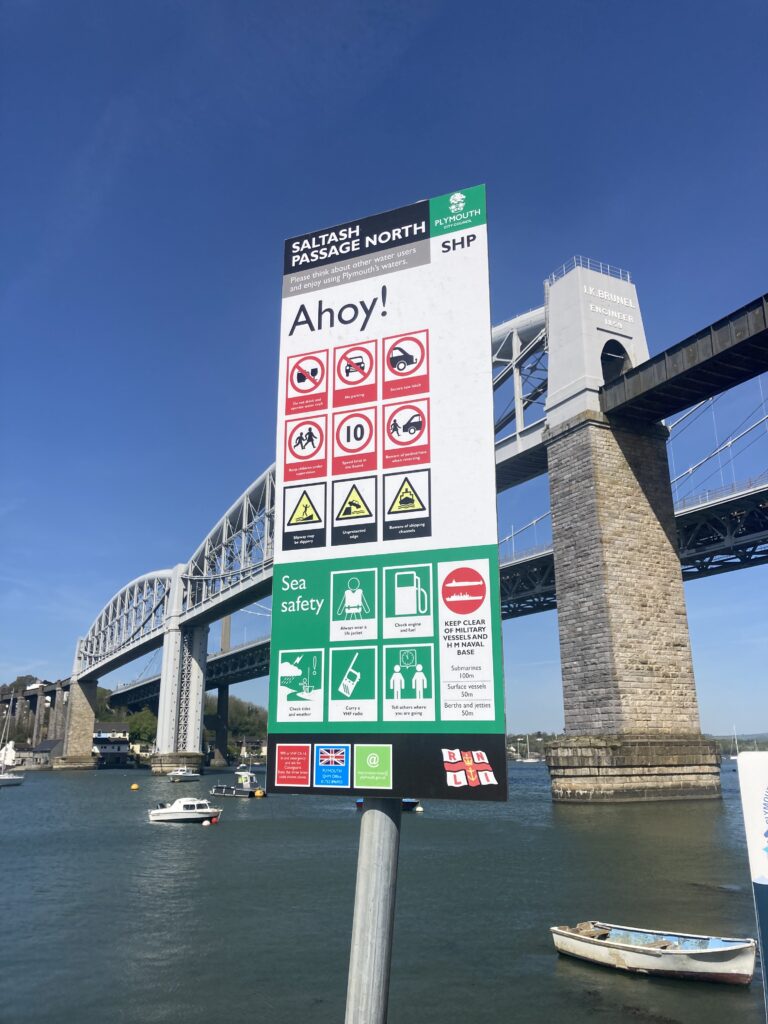
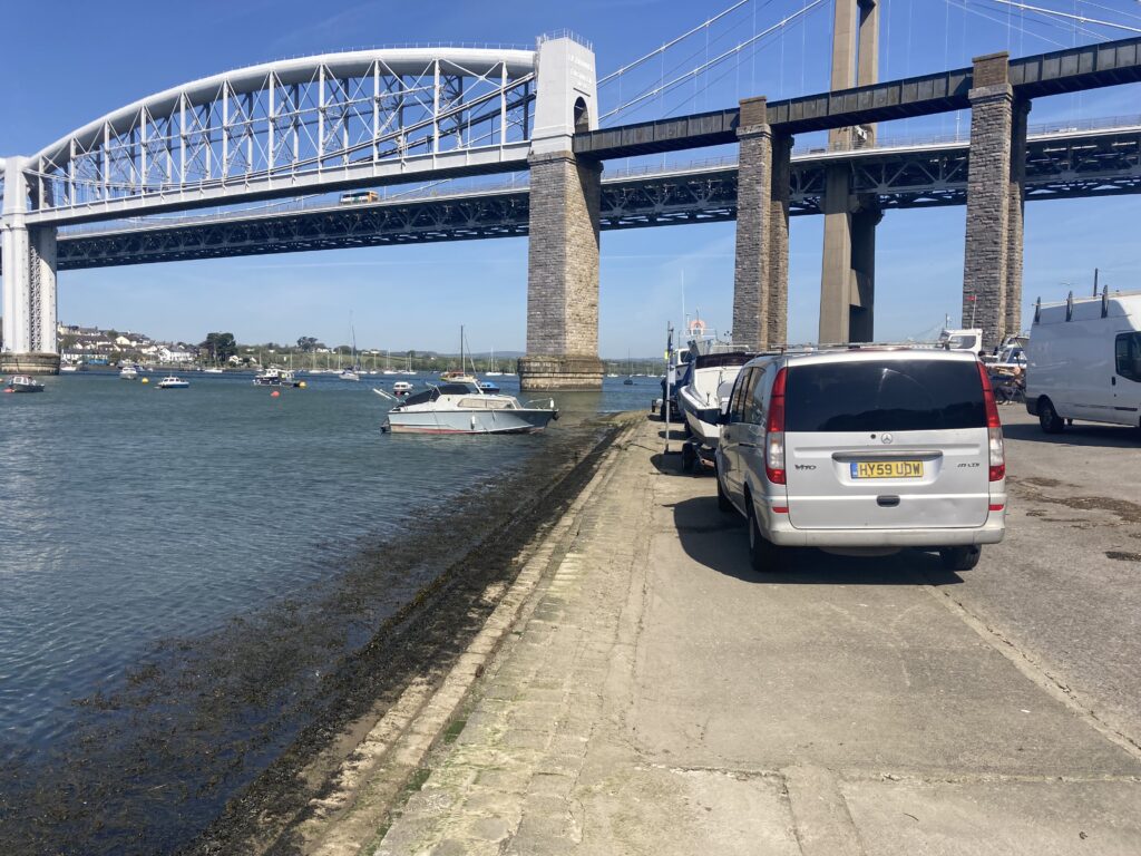
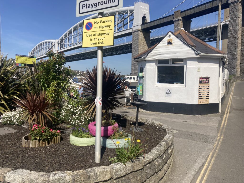
About the Area: Saltash Passage Slipwayi is on the Plymouth side of the Tamar River below the road and rail bridges, in St Budeaux. This area of Plymouth has an interesting history – just look at the plaque at the base of the railway bridge for interesting content.
Launch Point Latitude and Longitude:
Decimal Latitude: 50.40681157381082
Decimal Longitude: -4.201325457484507
Launch Point What3Words: https://w3w.co/appeal.leap.issue
Launch Information:
Costs to launch – Free, this is a Public Slipway
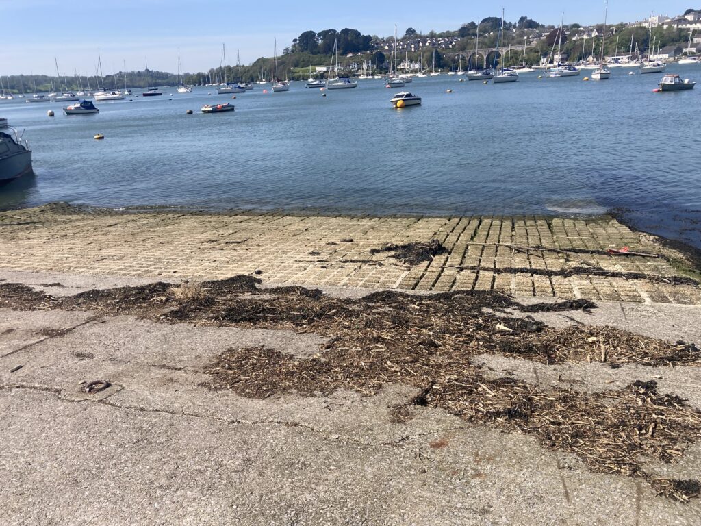
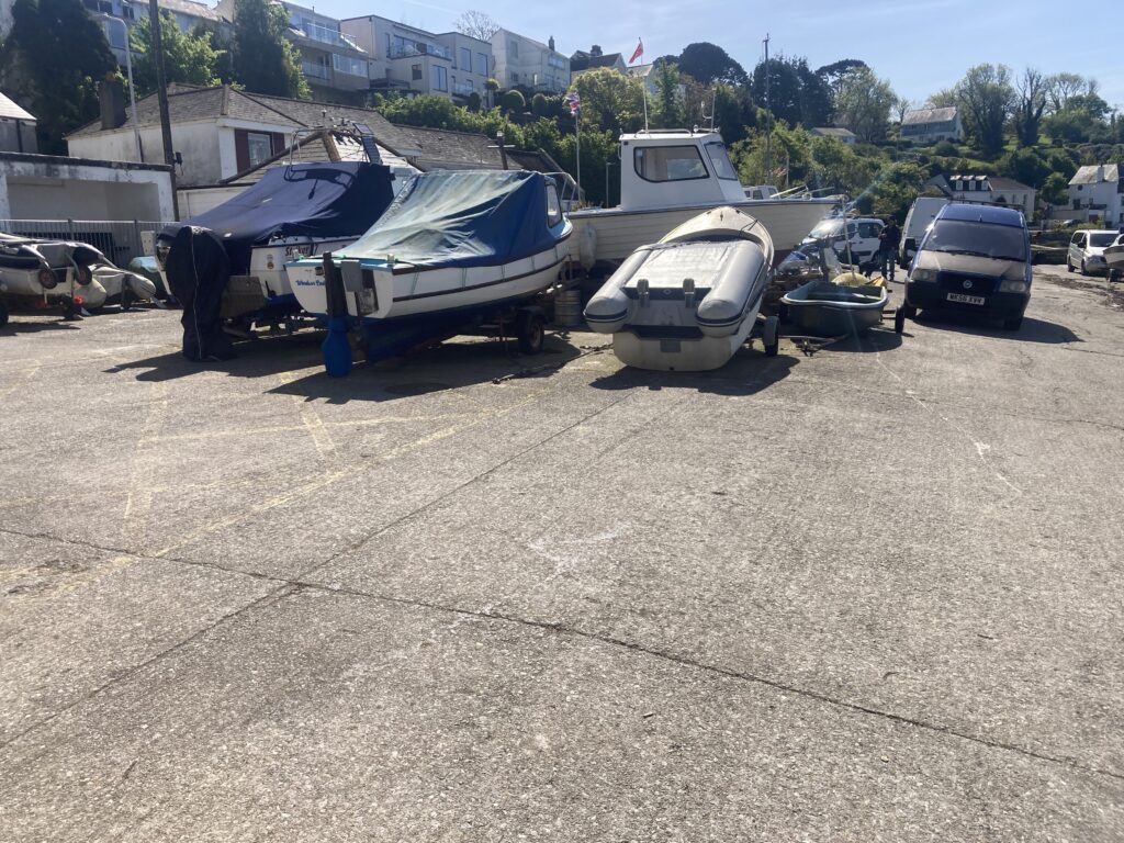
Launch facilities – The slipway is not all-tide – on Springs there is a drop to deep mud.
The slipway seems to be mostly used by small fishing boats rather than by dinghies. There is a large store of fishing boats around the top of the slipway.
See https://www.plymouth.gov.uk/saltash-passage-slipway for more details.
Towing Vehicle Parking:
There seems to be abundant on-street parking on the streets around the slipway, where the car can continue to be attached to the trailer.
Trailer Parking:
Attached to the towing vehicle on adjacent on-street parking.
Toilets:
There is a cafe at the launch location, and a pub 200m South of this slipway.
Page Month Published: May 2026