
Mission Statement: Overnight stay in the Medina River from Lymington
Launch point: Lymington
Trail Introduction
This is a two day sail from Lymington to the Medina River on the Isle of Wight with an overnight stop at a campsite.
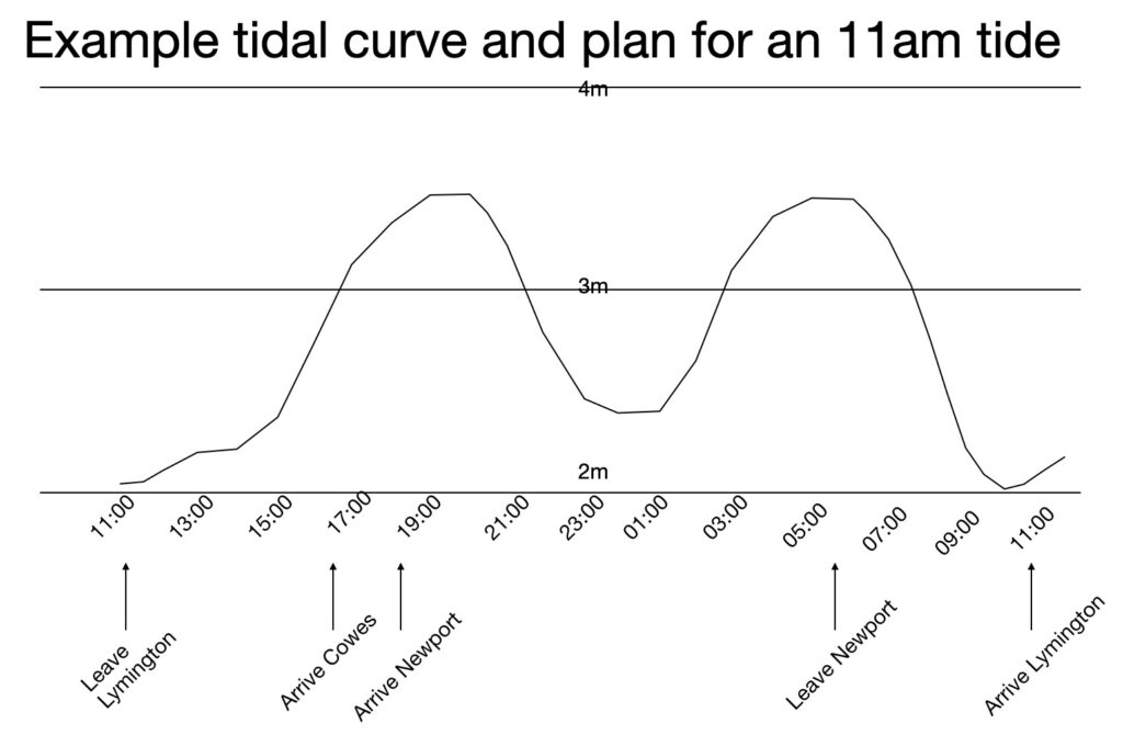
Lymington is a good place to start and finish this trail as it uses the tide effectively in both directions. The ideal time to conduct this is with a 11am low tide. This trail is written based on an 11am low tide, and can be done with a 10am to noon tide with the timings adjusted accordingly. The weather for both chosen days needs to be appropriate for this trail, so that you have confidence that you can get back on the second day.
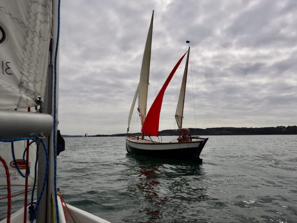
The aim is to launch from Lymington just before low tide, taking the last of the ebb to the river entrance, then take a leisurely sail to end up at Cowes at 16:30 to take the last of the flood up the Medina River. Staying overnight on-board or ashore (at a bookable campsite within walking distance) near the top of the Medina River allows for a short walk into Newport for dinner where many pubs, restaurants and take-aways are available. An early start is needed the next morning (5:30 for a 7am start) to take the ebb down the Medina River, past Cowes and with the ebb to Lymington, arriving about Noon the next day at low tide.
An example plan, with an example tidal chart and timings is below – you will need to check the actual tidal curve and tides for yourself as this is just an example.
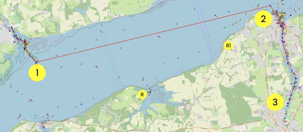
Round Trip Distance: 16 miles in each direction, total of 32 miles.
Approximate Time that the Trail will take: 24 hours with an overnight stay on the IOW.
OS Map or Chart: Imray C15
Trail Details
Permitted use of Openseamap under the “Creative Commons Attribution Share-Alike 2.0” license
This map is for information use only, not for navigation.
Step by step plan.
- Launch from Lymington at about 10:30 on a day when there is a 11am low tide. Take the last of the ebb down the Lymington River, and out to the Western Solent.
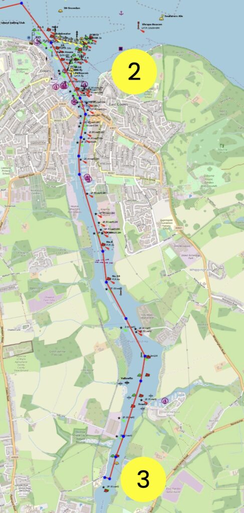
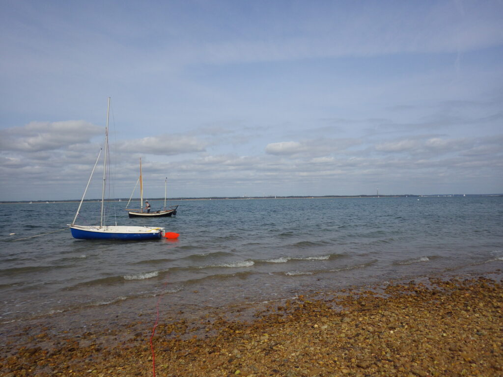
- Time your sail to be at the entrance to the Medina River at about 16:30 to take the last of the flood up the river. There are many items in the Medina River to avoid, including and not limited to yacht racing, cross-Solent Car Ferries, a cross-Medina Ferry, a sailing school, aggregate unloading from ships, the wind turbine ship movements and other general boating. The further up the river, the more sheltered the wind and the sail becomes a typical river sail. It is well marked with buoys and withies.
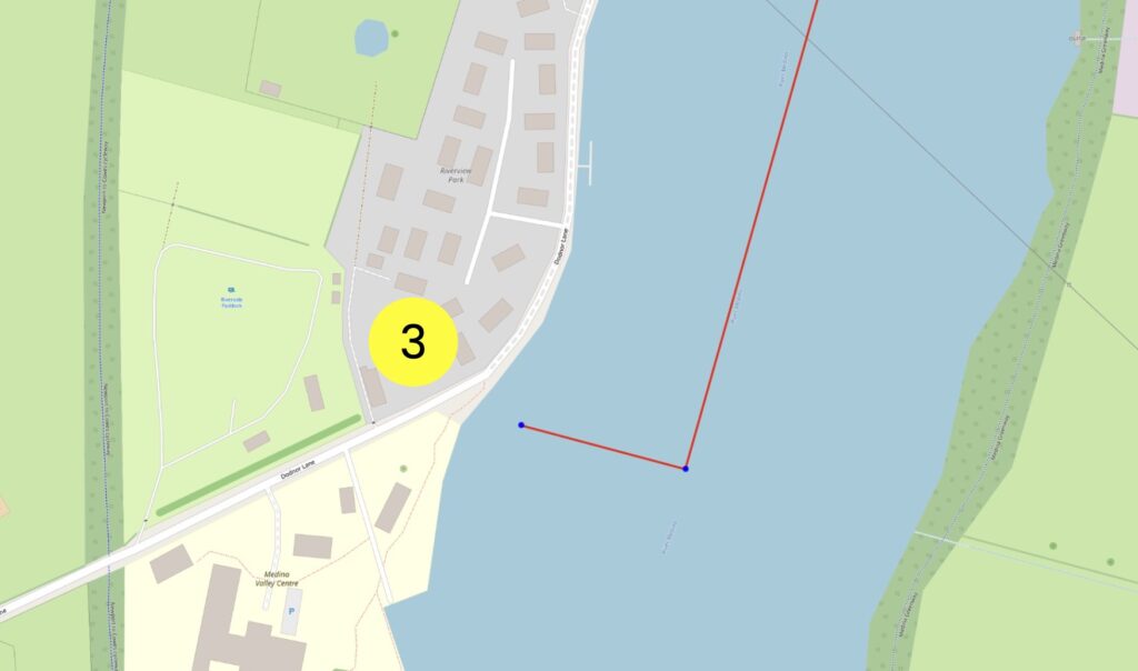
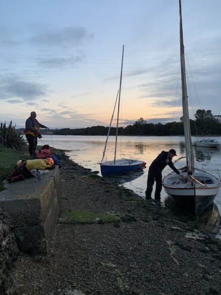
- Where to stop for an overnight camp is very much a personal choice, and the Ferry Boat on the Eastern side has a good beach for drying out and a good pub. This dinghy trail has a suggested destination for those who cannot camp aboard – there is a slightly muddy foreshore, set of steps up to the road from the river, and it is a 100m walk to the Riverside Paddock campsite. Refer to their website for opening times, restrictions and the method of booking.
To catch the ebb tide the alarm has to be set for early in the morning – both to get the tide and while the boats are afloat in the river. Getting to the boat at 05:00 is likely to be safe, and by 05:30 there is a chance that the boat may have dried out, depending on where it was anchored and where it settled.
The Medina River in the early light of a new day is a tranquil location to enjoy. Follow the return route to Lymington, to arrive about 11am before the next flood tide starts.
Trip Extensions:
There is a potential sail for lunch at Newtown Creek (see other dinghy trail) which is a Refuge on this sail and highly recommended.
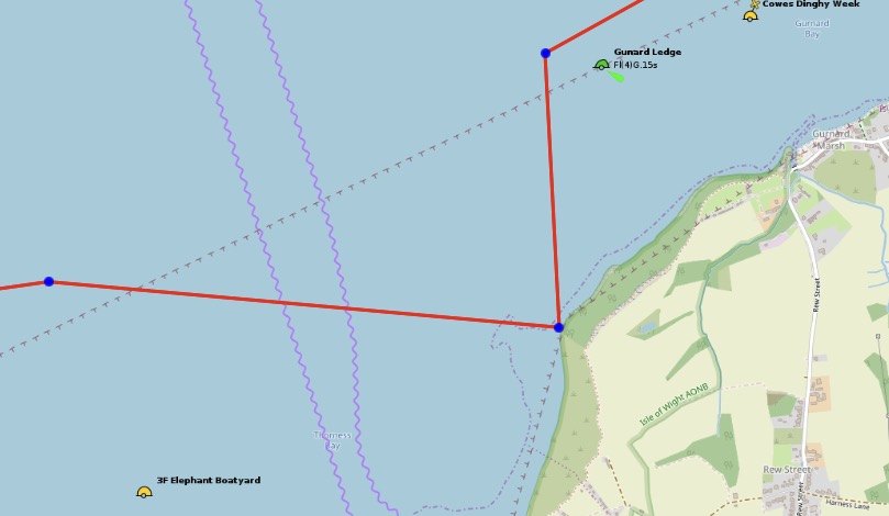
R1 is a beach just short of Gurnard just to the East of Gurnard Ledge, which is gently shelving and stony desolate beach, and there is nothing there to visit and few people. It’s got poor holding ground with and is OK to stop for a thermos of hot beverage and a sandwich. The stones are embedded in solid mud and do not move – each one encrusted with barnacles. Desolation Bay (as we renamed it) offered nothing but a lonesome thorny bush and a rusting steel lorry parts buried in the beach; it’s always better to share your beach with a dead rusty engine block and a rust-crusted lorry axle. There are no toilets. Having visited once, there is no need to revisit this beach.
This is the .gpx file including this trip to the beach.
Tidal Information:
11am low tide is a good choice for this dinghy trail.
Best Tides:
lunchtime low tide = 11
Toilets:
The campsite has toilets and showers.
Page Month Published: April 2026 (Trail completed using this planning in 2020 under Covid conditions)
Dinghy Trail Sponsor: