
There was not the time to test all the dinghy trails from St Mary’s, and these were recommended by the Commodore of Holm SC, and can be sailed from St Mary’s slipway.
St Mary’s to Swanbister Bay and Waulkmill Bay
A good sail to two sandy beaches
About the Area
Interesting fact: Waulkmill Bay has a gently shelving beach, but Swanbister Bay has hills and troughs, so be wary when landing (or swimming) because you might think you’re in the shallows, and then it gets deep again.
Round Trip Distance: 18 miles
Approximate Time that the Trail will take: 6-8 hours
OS Map or Chart: Admiralty Chart 35: Scapa Flow and Approaches
Trail Details
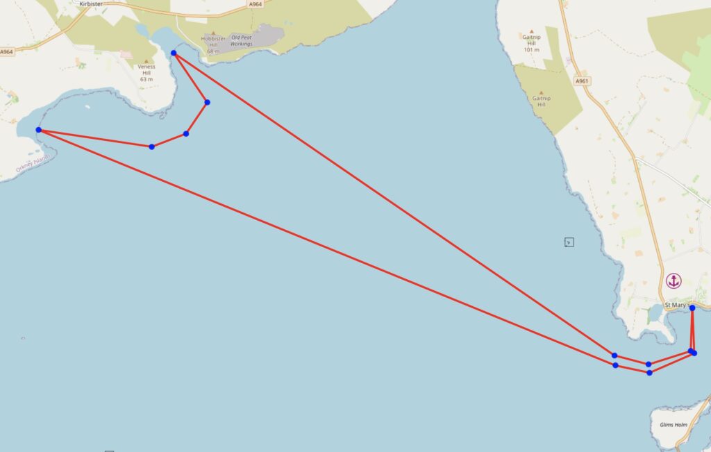
Permitted use of Openseamap under the “Creative Commons Attribution Share-Alike 2.0” license
This map is for information use only, not for navigation.
If you do this trail, please send pictures and any additional information that you find.
St Mary’s to Cava
Sail to Cava from St Mary’s
About the Area
Interesting fact: Whatever wind direction, there is somewhere to stop on Cava. Each end of the island has a shingle beach either side of a spit, so there is always a windward shore to pull up on.
Round Trip Distance: 22 miles
Approximate Time that the Trail will take: 6-8 hours
OS Map or Chart: Admiralty Chart 35: Scapa Flow and Approaches
Trail Details
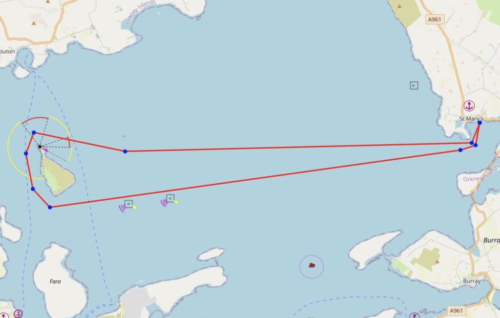
Permitted use of Openseamap under the “Creative Commons Attribution Share-Alike 2.0” license
This map is for information use only, not for navigation.
This is an adventurous sail to the middle of Scapa Flow, and there is lots to see on the way, especially the Barrel-o-Butter which looks very much like the conning tower of a submarine.
If you do this trail, please send pictures and any additional information that you find.
St Mary’s to Scapa Beach
Sail to Scapa Beach from St Mary’s
About the Area
Interesting fact: There is very little tide north of St Mary’s
Round Trip Distance: 14 miles
Approximate Time that the Trail will take: 4-6 hours
OS Map or Chart: Admiralty Chart 35: Scapa Flow and Approaches
Trail Details
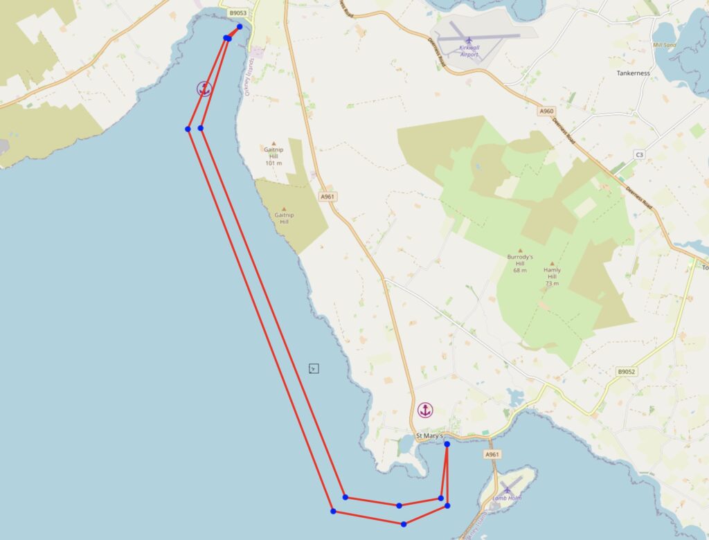
Permitted use of Openseamap under the “Creative Commons Attribution Share-Alike 2.0” license
This map is for information use only, not for navigation.
If you do this trail, please send pictures and any additional information that you find.
Tidal Information
Tidal Information:
There is very little tidal flow in the huge area North of St Marys, so Swanbister Bay, Waulkmill and Scapa Beach can be sailed at any state of the tide.
There is a current that runs through Scapa Flow both sides of Cava at about 1 knot, so its worth planning that sail with an eye on the tide.
Toilets:
Swanbister Bay – Unknown
Waulkmill Bay – Unknown
Scapa Beach, yes, on the beach front. https://w3w.co/breathing.shocking.convey
Further Information
Thanks to the Commodore of Holm SC for the inspiration to create these Dinghy Trails. Holm SC Facebook Page.