
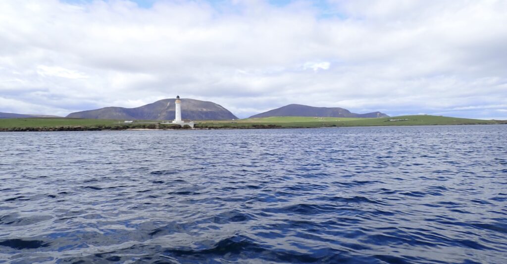
Mission Statement: Sail around the closest large island to Stromness
Launch point: Stromness SC Public Slipway
Trail Introduction
This is a dinghy trail to warn inexperienced sailors to not attempt this trail unless all the conditions are right.
About the Area
Graemsay is an island in Scapa Flow at the Western end, and has a tidal gate with fierce tides which could swamp and destroy a dinghy, and/or sweep unwary sailors out to the Atlantic.
Interesting fact: The sailors of Graemsay would pull their boats out of the way of the Spring High Tide, and the dent in the beach for each boat is still visible on the shore.
Round Trip Distance: 7 miles
Approximate Time that the Trail will take: 2 to 3 hours
OS Map or Chart: Admiralty Chart 35: Scapa Flow and Aproaches
Trail Details
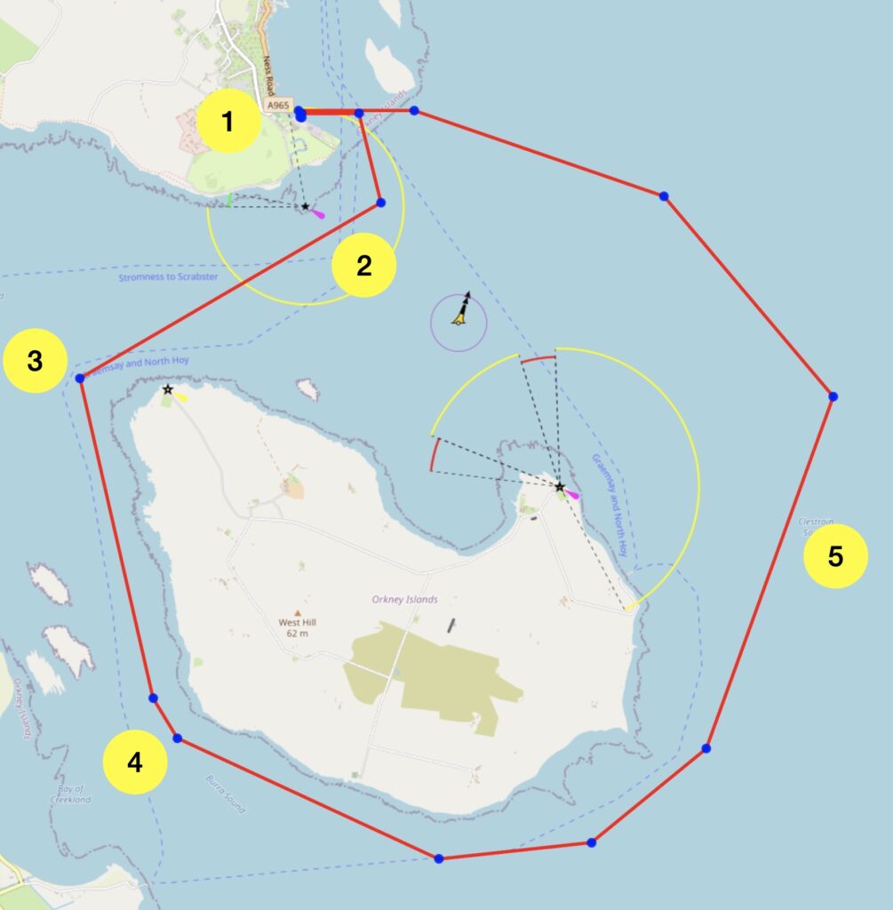
Permitted use of Openseamap under the “Creative Commons Attribution Share-Alike 2.0” license
This map is for information use only, not for navigation.
This trail is potentially dangerous, and if this trail information puts you off, that’s OK. (This information, given to me by the locals, put me off).
The trail initially puts you into the centre of the end of the ebb tide which pours out of Scapa Flow, so utmost care must be taken with the planning. This should be done on a neap tide, and when there is not a running sea coming from the Atlantic. With the Atlantic calm, and a neap low tide, this is a doable trail.
- Launch from Stromness SC Public Slipway at a time when you can be at the West end of Graemsay at low water.
- Avoid the shallows near the navigation post. The tide will still be ebbing, so time this sail so that the water is close to being still.
- Be at the West end of Graemsay at low water.
- Stay on the Graemsay side of the channel. Note that while this area is covered in “block ships” sunk to prevent sneak attacks during both 1st and 2nd World Wars, they are not of navigational concern any more.
- By now the flood will have started, so aim for Bay of Ireland to avoid the overfalls and return back to Stromness.
Tidal Information
Tidal Information:
As above, the tide needs to be low when you plan to be at the West end of Graemsay.
Further Information
Thanks to the Commodore of Stromness SC for the inspiration to write this dinghy trail. Stromness SC Facebook Page.
Page Month Published: May 2026