
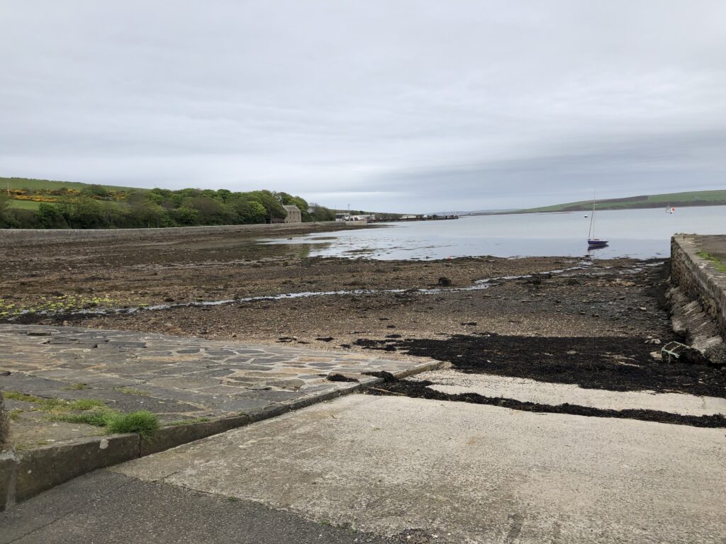
Name of the Launch Location: St. Margaret’s Hope Public Slipway
About the Area: St. Margaret’s Hope is a very sheltered harbour on the South East of Scapa Flow, and has a lovely village with some shops and a Post Office. This launch point opens up the opportunity to sail to Flotta and other islands in the South-East area of Scapa Flow, and could easily be used to sail to St Mary’s Hope Public Slipway with the right wind and tide.
Safety Note: One of the risks to be aware of in this area is a thick fog, locally known as the haar, which is a cold, dense fog that can arrive quickly and without warning from the North Sea. Paper charts won’t help you get home if the fog clamps down, so an electronic chart is an optional but could be vital safety device to help you find your way home.
Launch Point Latitude and Longitude: 58.82601115315524, -2.960857106953439
Launch Point What3Words: https://w3w.co/herb.royal.decorated
Launch Information:
Costs to launch: Free, it’s a public slipway
Tidal information: The tide goes out a long way and beyond the short concrete slipway the foreshore is rocky and firm. At MLWS the water is a long way away. The ground is sharp with barnacles and sharp rocks. The foreshore is not maintained as a slipway, and there is a buildup of bigger rocks which will hamper launch and recovery.
Launch facilities: It’s just a concrete slipway, no rings, no rope, and a wide foreshore immediately to the South so you could just anchor your boat while recovering or retrieving the trolley.
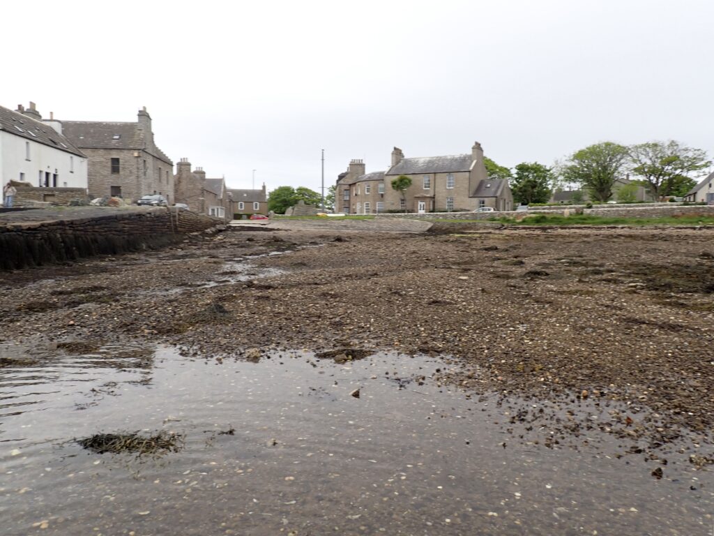
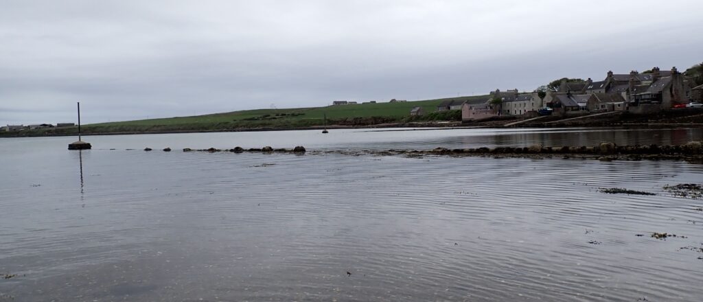
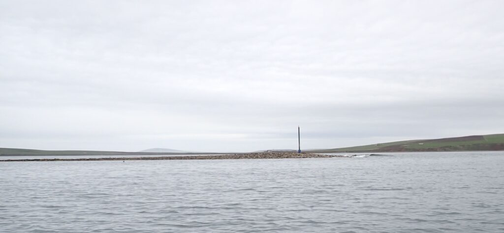
Note that there are underwater obstructions, marked by metal poles, and exposed here at low tide.
Towing Vehicle Parking:
There is free on-street parking around the adjacent roads, and a public carpark a few metres from the slipway.
Towing vehicle Parking What3Words: https://w3w.co/ambushes.detained.internal for the free carpark for the village.
Toilets: Public Toilets are available in the village a few metres from the top of the slipway.
Toilets What3Words: https://w3w.co/clasping.loaf.tadpoles are shared with the “Waiting Room” for the bus service.
Toilets Information: Free to use.
Page Month Published: May 20026